Conditional Formatting dialog
This dialog appears when you select a field/Google map and then click Format > Conditional Formatting on the menu bar, or click the Conditional Formatting button  on the toolbar, or right-click the field/Google map and select Conditional Formatting from the shortcut menu. It helps you to add some conditional formats to values of the selected field or markers of specific group levels in a Google map. The options in the dialog varies according to different source it is opened from.
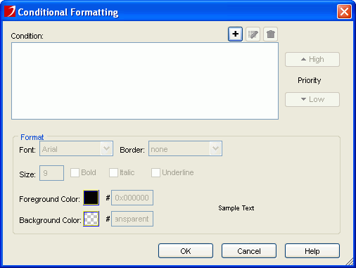
When you select a field to open the dialog, the options in the dialog are as follows. See the dialog.
Condition
Displays all the conditions you have already added.

Adds a new condition in the Edit Conditions dialog.
Edits the selected condition.
Removes the selected condition.- Priority
Specifies the priority of each condition.
- High
Moves a condition up for a higher priority.
- Low
Moves a condition down for a lower priority.
Format
Specifies the format which will be applied to the field values when the specified condition is fulfilled.
- Font
Specifies the font type for the field values.
- Border
Specifies the border line style for the field values.
- Size
Specifies the font size for the field values.
- Bold
Specifies whether or not to bold the field values.
- Italic
Specifies whether or not to make the field values italic.
- Underline
Specifies whether or not to underline the field values.
- Foreground Color
Specifies the foreground color for the field values.
- Background Color
Specifies the background color for the field values.
To specify the color, click the color image button and select a color swatch or type the hexadecimal value of the desired color (e.g. 0xff0000) in the text box directly. If the color swatches cannot meet your requirement, you can click More Colors to open the Pick a Color dialog, with which you can set a full range of color.
- Sample Text
Displays a preview sample of your selection.
OK
Applies the changes and closes the dialog.
Cancel
Cancels the changes and exits the dialog.
Help
Displays this help document.
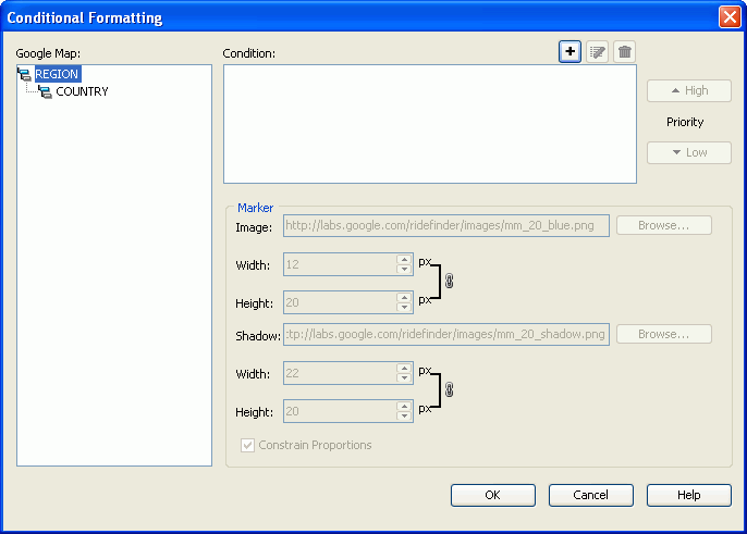
When you select a Google map to open the dialog, the options in the dialog are as follows. See the dialog:
Google Map
Lists all the group levels in the Google map.
Condition
Displays all the conditions you have already added.
Adds a new condition in the Edit Conditions dialog.
Edits the selected condition.
Removes the selected condition.- Priority
Specifies the priority of each condition.
- High
Moves a condition up for a higher priority.
- Low
Moves a condition down for a lower priority.
Marker
Specifies the properties of the marker. Available only when there is at least one condition in the Condition box.
- Image
Specifies the image of the marker. Input the URL for a web image or click Browse button to specify a local image. Available only when Default Icon is unchecked.
- Width
Specifies the width of the foreground image in inches or centimeters.
- Height
Specifies the height of the foreground image in inches or centimeters.
- Shadow
Specifies the shadow image of the marker. Input the URL for a web image or click Browse button to specify a local image. Available only when Default Icon is unchecked.
- Width
Specifies the width of the shadow image in inches or centimeters.
- Height
Specifies the height of the shadow image in inches or centimeters.
OK
Applies the changes and closes the dialog.
Cancel
Cancels the changes and exits the dialog.
Help
Displays this help document.